Mine Surveyor Certificate
In Mine Engineering and SurveyAbout this course
Description
Mine Surveyors play a key role in maintaining accurate plans of the entire mining infrastructure on site along with regular update maps of the surface layout to plan for new surface and underground installations that are critical for the mining operation.
They plan and design the schematics of underground facilities as well as advising on the right surveying and sampling techniques thereby supporting underground and surface mining operations. All the necessary underground workings are plotted and kept regularly updated, so that surface surface operators and management have a clear understanding of the underground/ subsurface environment.
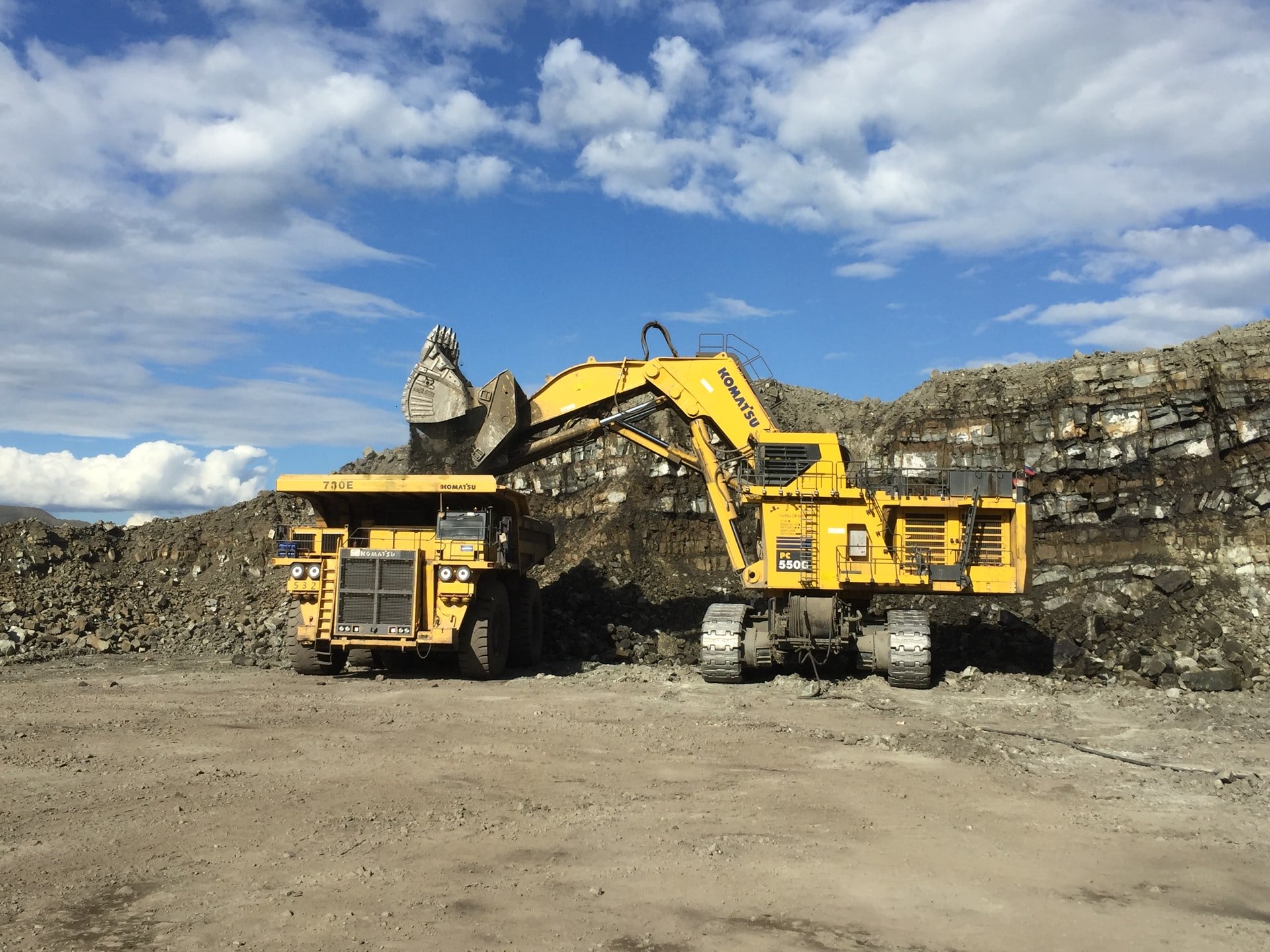
Mine surveyors are responsible for measuring the areas and volumes blasted by underground crews. They therefore regularly quantify the work done by mining contractors underground, and calculate their contractual earnings. More importantly, surveyors are involved in the measuring process to calculate ore production, in volume or mass units, from the mining operation.In addition to this, the volume of the dumps of waste accumulating on the surface of the mining property will also be surveyed. This aspect of the work has turned mine surveyors into managers of mines' resources.
Mine surveyors are responsible for taking regular samples of reefs exposed in underground excavations, to determine which areas are profitable to mine. Thus, their work has to be very accurate at all times. Senior survey personnel also perform management functions, as well as managing the underground "ore" reserve.
Upon successful completion, you will be prepared to pass the certification in order to work on a mine.
Learning outcomes
Learning Outcomes of the course include gaining an overall understanding of:-
1. Taking accurate measurements of surface and underground working and maintaining accurate and secure records of Survey within the Mine Site.
2. Carrying out surveys, risk assessments and environmental impact assessment on potential sites to assess whether plans are workable.
3. Exploring, mapping and developing sites for gold mineral extraction.
4. Charting surface and underground areas within the Mine site area by using Global Positioning Systems (GPS), building accurate 3D models using digital imaging and specialist CAD (Computer - aided - design) software to map the Structure of the site.
5. Providing Valuations of gold deposits.
6. Undertaking exploration work, such as taking samples and recording results
7. use engineering methods and understand the uses of computer packages for the computation, modelling, simulation and evaluation of mining layouts, and communicate,
8. explain and discuss the reasoning, methodology, results and ramifications of all these aspects in a professional manner at all levels.
9. Methods of Mineral Exploration
10.Geophysics for Engineers and Geologists as tools for mineral exploration
11.Satellite image interpretation and field mapping/Cartographic principles
Who should attend this course?
• Professional Miners
• Quarry Managers/Workers
• Small Scale/Artisanal Miners
• Construction Workers-Civil Engineering, Construction Supervisors working in Tunneling, excavations
• Environmental Professional
• Bankers and Financial analysts
Assessment:
After completing and passing the course successfully, you will be able to obtain an Accredited Certificate of Achievement.
At the end of the course, you will be required to do a real-life Project. Your evaluation will ascertain whether you qualify for a certificate of Technical Competence. It is important to note that some course assessments lead to the award of an accredited certificate by the Ministry of Education and Sports of Uganda.
Comments (0)
Reviews (1)