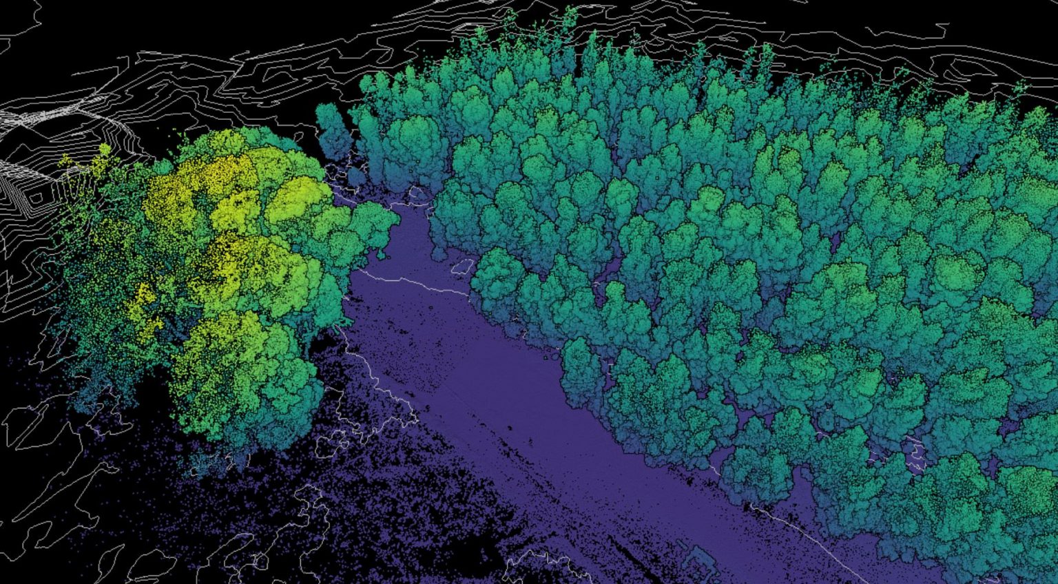
Remote Sensing (Imagery Pre-processing and Analysis)
In GIS and Remote SensingAbout this course
You will acquire skills that will prepare you to perform the most common ArcGIS workflows. You will explore, manage and analyze geographic data. The course covers techniques to effectively share your ArcGIS work with decision makers, colleagues, and the public. Gain an in depth overview of web programming with Geo spatial data. Create web-mapping application that is freely available to all.
Summary
Cartography and Map production
Geo Referencing and Editing
Geo processing tools
Remote Sensing Basics
Characteristics of Remotely Sensed Data
Acquisition of Imagery and Terrain Data
Working with Imagery in ArcMap
Normalized Difference Vegetation Index (NDVI)
Requirements
Computer application basics
Personal Computer with a mouse A laptop, 4GB RAM minimum, i-3/Dual Core , 64 bit OS


